
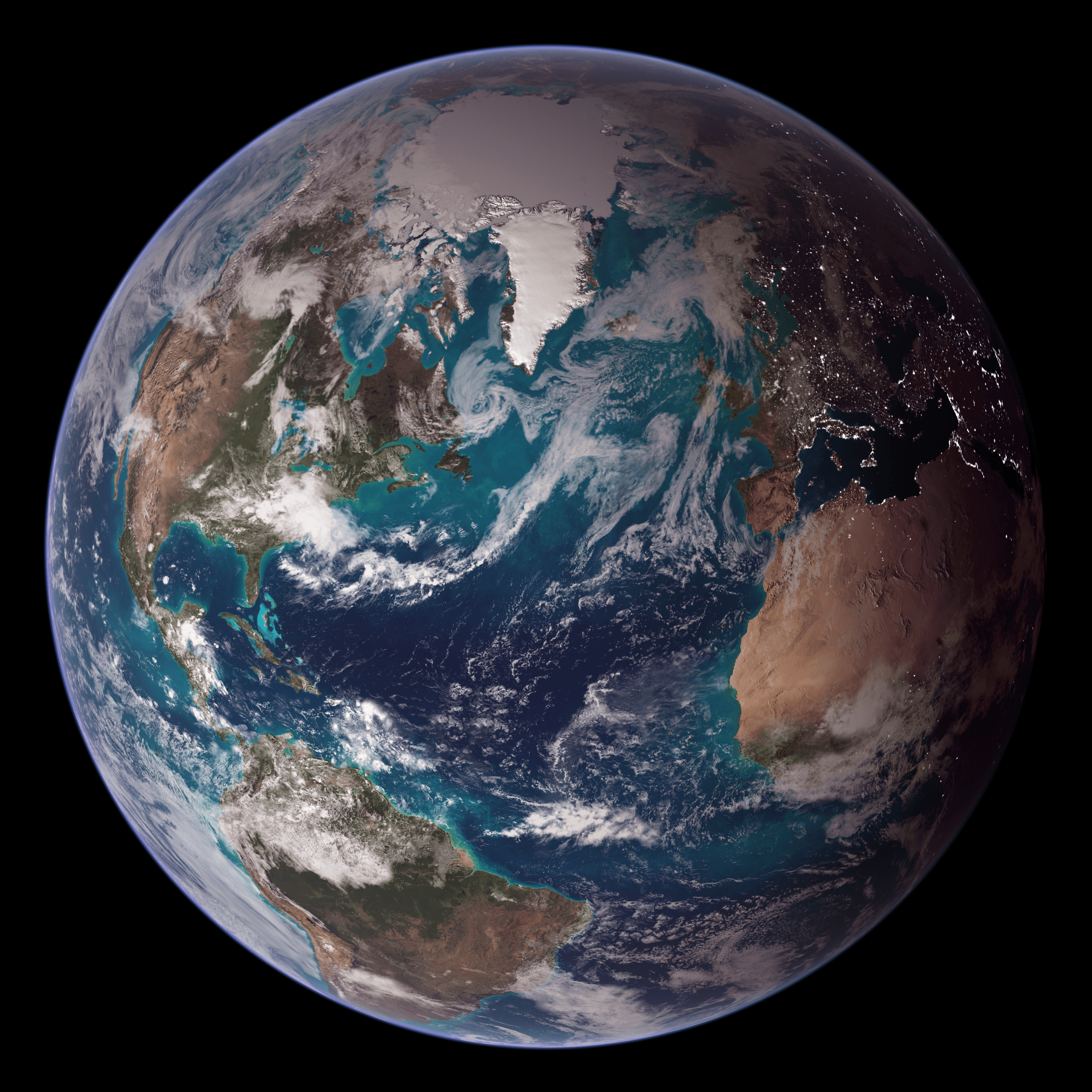
The world is yours.Explore smarter.
NomadIQ puts Earth science in your hands. Overlay satellite imagery, terrain, habitat, flood and wildfire risk, and dozens of other cutting edge scientific data layers—all on your mobile device.
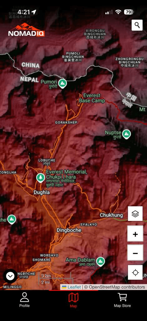
Earth science made accessible
Geospatial data was once locked behind expensive software and large institutions. NomadIQ brings it to anyone with a smartphone.
Collect & Curate Layers
Find and subscribe to layers in the Map Store. Save money by using only what you need.
Explore Smarter
Pan/zoom/search for locations, query map data, and see the Earth as scientists do.
Create your world
Combine and overlay your layers, and get creative with map design.
Support your causes
Donate to specific map layers to keep the information open to everyone.
Dive Deeper
Dive deeper through links to agency, startup, and university lab web pages.
Science-Backed Data
Every layer is sourced from peer-reviewed research and trusted institutions. Real data you can rely on for real-world decisions.
Layers for every journey
Browse the NomadIQ Map Store for curated data layers. Some are free, others support ongoing scientific research through affordable subscriptions.
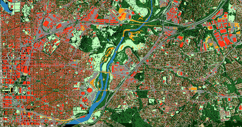
Land Cover
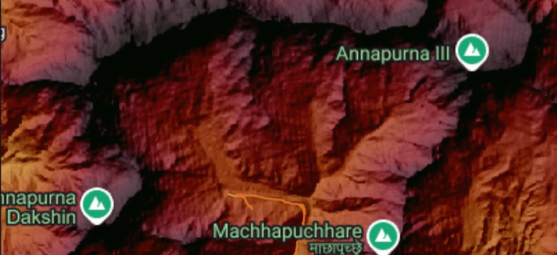
Topography
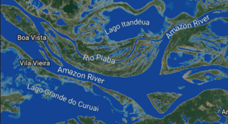
Surface Water
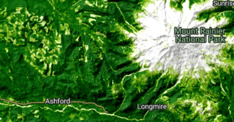
Tree Cover
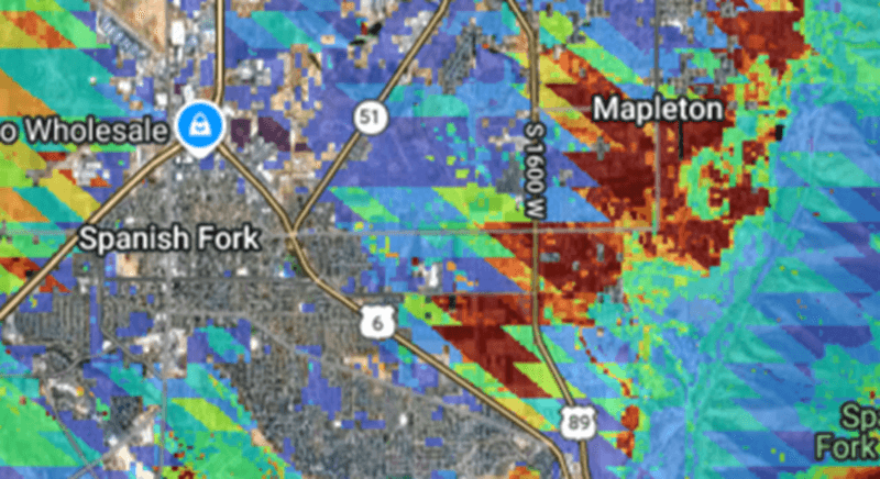
Wildfire Risk
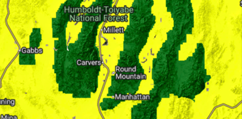
Public Lands
Start exploring
Download the App
Free on iOS and Android. Get up and running in under a minute.
Browse the Map Store
Pick the data layers that match your interests — hiking, conservation, real estate, or pure curiosity.
Explore Your World
Stack layers, zoom in, and see the planet through the lens of cutting-edge geospatial science.
A community of scientists and explorers
From scientists to hikers, homeowners, and travelers, NomadIQ users are discovering new ways to understand the world around them.
“Combines wildfire risk, public lands, flood hazard, and elevation data in ways no other app does.”
— App Store Review“More layers and more customizable options than many mapping apps. Perfect for scouting backcountry routes.”
— Outdoor Enthusiast“As a conservationist, having real scientific data on my phone is a game changer for fieldwork.”
— Environmental ResearcherLife is a journey.
Take only what you need.
Download NomadIQ and carry the world's geospatial data in your pocket. Free to start, endlessly explorable.
Are you a data scientist?
Put your data in 8 billion hands.